Surveying and mapping
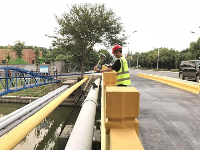
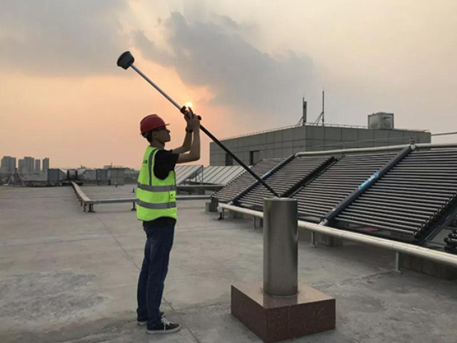
The large-scale use of RTK technology in the field of surveying and mapping has effectively improved the measurement accuracy and efficiency, but in the shielding environment such as tall buildings and trees or electromagnetic interference such as radio stations and signal towers, the traditional RTK technology will be seriously affected and the measurement accuracy will be greatly reduced. At the same time, during the RTK measurement, the bubble pair ensures the vertical to the middle rod, otherwise the measured data will have a large deviation. The application of inertial navigation system to RTK technology can ensure that it can be accurately measured in the corners of rooms, under trees, and even in sewers, and the impact of the environment is greatly reduced. At the same time, there is no longer a need to strictly match, which can be tilted measurement, which can greatly reduce the operation difficulty of surveying and mapping, effectively help surveying personnel to improve surveying and mapping efficiency, and make surveying and mapping work become simple and efficient.
Recommended products
