Critical role of IMU in UAV LiDAR
Release time:
2025-02-27
With the rapid development of science and technology, uav LiDAR technology is playing its unique advantages in mapping, geological exploration, agricultural monitoring and other fields. From the fine modeling of cities to the topographic survey of remote mountainous areas, the technology is everywhere. Deep in the core of this advanced technology, there is a key component, —— inertial measurement unit (IMU) that plays a decisive role. It is like the "stabilizer" and "compass" of UAV, silently ensuring the efficient operation of the whole system.
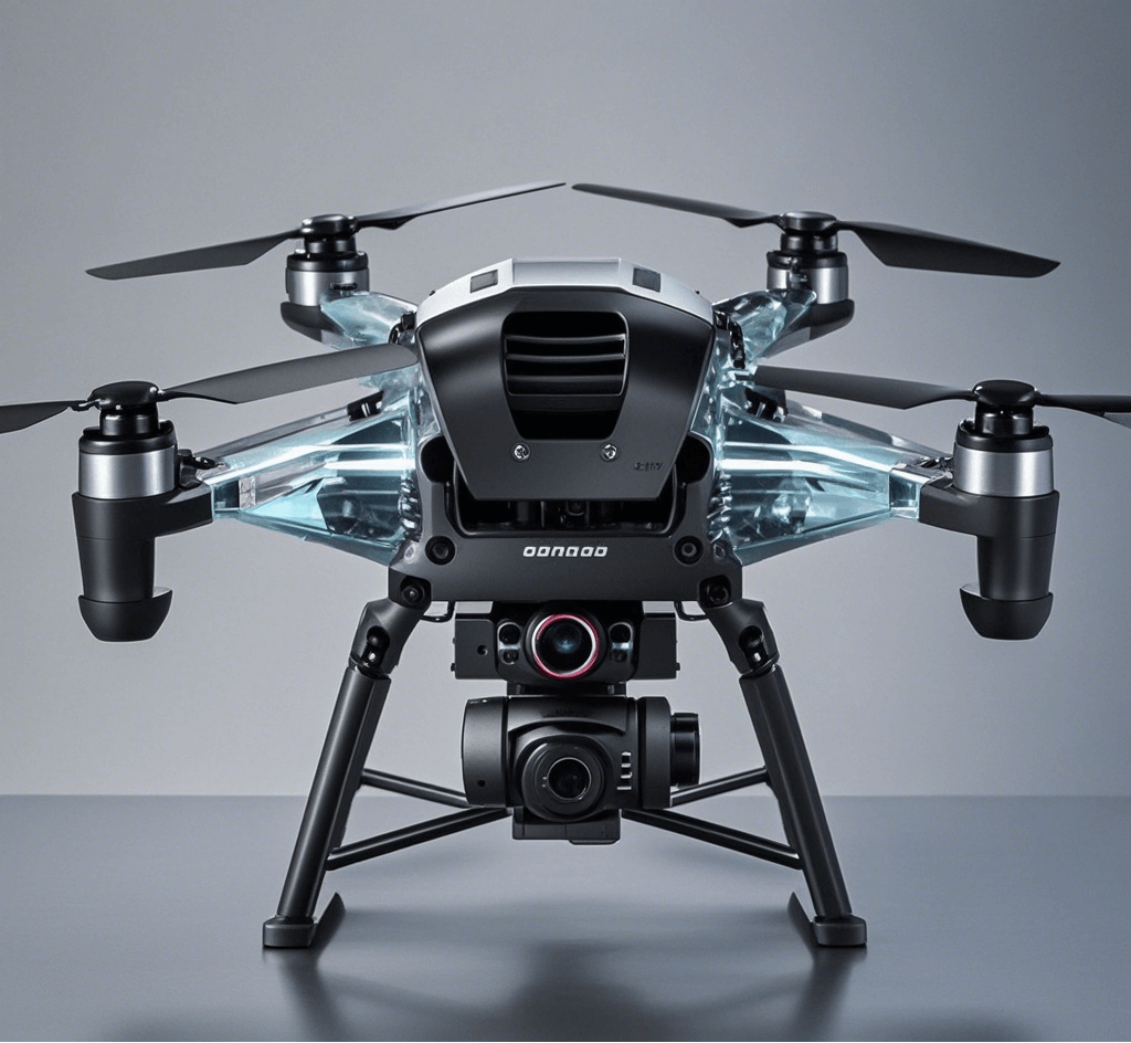
With the rapid development of science and technology, uav LiDAR technology is playing its unique advantages in mapping, geological exploration, agricultural monitoring and other fields. From the fine modeling of cities to the topographic survey of remote mountainous areas, the technology is everywhere. Deep in the core of this advanced technology, there is a key component, —— inertial measurement unit (IMU) that plays a decisive role. It is like the "stabilizer" and "compass" of UAV, silently ensuring the efficient operation of the whole system.
Critical role of IMU in UAV LiDAR
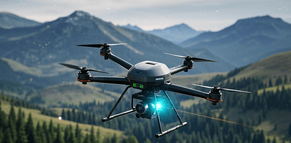
When a UAV performs missions, its flight environment is often very complex. The instability of the turbulence and the fluctuation of the terrain will lead to the continuous fluctuation of the UAV attitude. The core task of LiDAR is to accurately measure the distance and position information of the target object, which puts forward extremely high requirements for the attitude stability of the UAV. At this point, the importance of IMU is highlighted.
The IMU consists mainly of accelerometers and gyroscopes. The accelerometer is like a keen "power sense", which can accurately measure the acceleration of the UAV in X, Y and Z, and capture the acceleration and deceleration of the UAV in real time. The gyroscope is like a vigilant "rotating tracker", which can quickly sense the rotation speed of the UAV, leaving the rotation of the UAV. Through the high-speed calculation of these data, IMU can instantly calculate the attitude Angle of the UAV, including pitch Angle, yaw Angle and roll Angle, providing key data support for the stable flight of the UAV.
In topographic mapping, for example, drones need to fly strictly along the scheduled route and conduct careful scanning of the ground. Once encountered by airflow interference, without the intervention of IMU, the scanning Angle of LiDAR will deviate, and the data obtained will become inaccurate, leading to errors in the mapping results. With IMU for real-time attitude monitoring and correction, LiDAR can always maintain the correct scanning direction, ensure the high accuracy of mapping data, and provide reliable basis for subsequent engineering construction and resource evaluation.
High-quality IMU products of LINS Technology
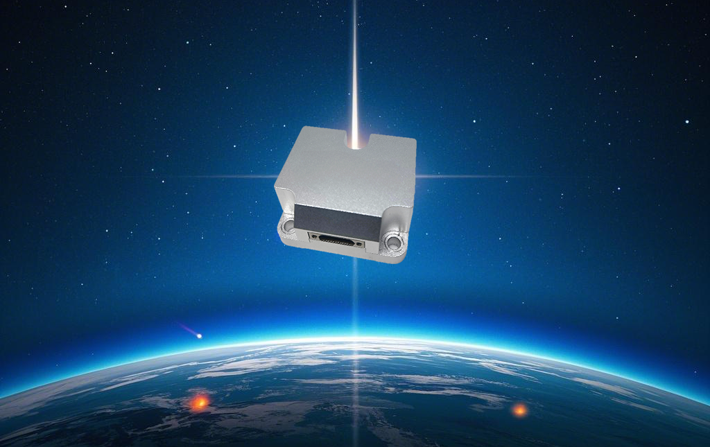
Among the wide range of IMU products on the market, our LINS620 successfully stands out with its excellent performance, bringing more breakthrough solutions for UAV LiDAR applications. LINS620 Is an inertial measurement unit (IMU) based on micromechanical technology (MEMS), with built-in high-performance triaxial MEMS gyro and triaxial MEMS accelerometer, supporting the output of angular velocity, acceleration, attitude angle and other information. The size is only 38.6 * 44.8 * 21.5mm, and the power consumption is as low as 0.5W.
(1) High-precision data output
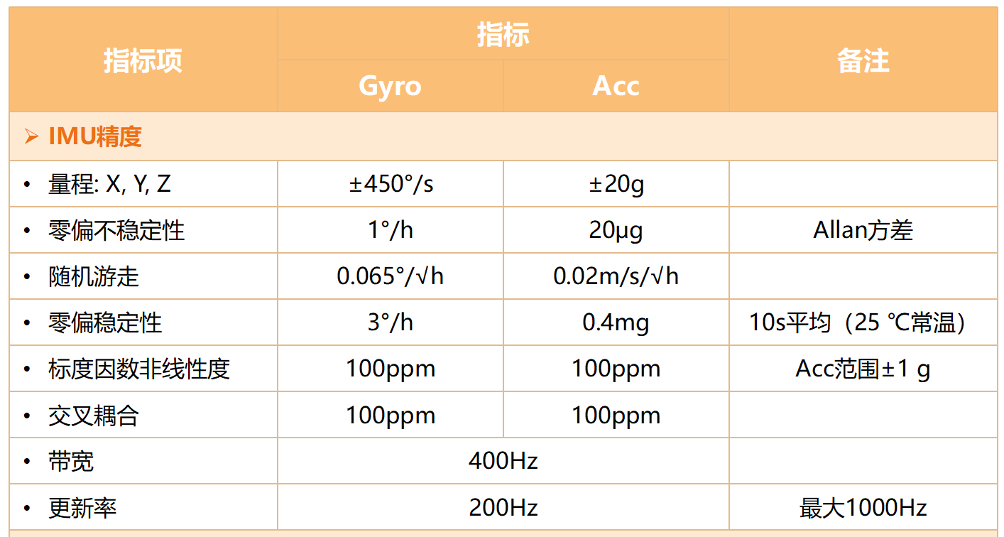
LINS620 A comprehensive calibration, compared with similar products on the market, in noise, zero bias stability, nonlinearity, temperature drift and other aspects all have excellent performance, effectively reduce the data error. This high-precision data output provides more reliable attitude information for LiDAR, can greatly improve the accuracy of mapping data, make the measurement results closer to the true value, and meet all kinds of application scenarios with high accuracy requirements.
(2) High stability and reliability
Facing the complex and variable flight environment, stability and reliability are the important indicators of IMU performance. LINS620 IMU After strict quality testing and a full range of environmental testing, with a strong resistance to the harsh environment and excellent durability. Whether in the industrial area with strong electromagnetic interference, or in the harsh natural environment with alternating high and low temperature, it can consistently guarantee the continuous and stable work of the UAV LiDAR system, and eliminate the worries for users.

(3) Fast response and low delay
In order to meet the urgent need of real-time dynamic adjustment during flight, LINS620 has the fast response characteristic and very low latency. High-precision data can be output under large bandwidth, and the whole process can be completed in a very short time from the perception to the output correction data. This allows the drone to make rapid attitude adjustments, ensure the consistency and stability of LiDAR scans, and ensure that high-quality data can also be obtained at high speeds or in complex environments.
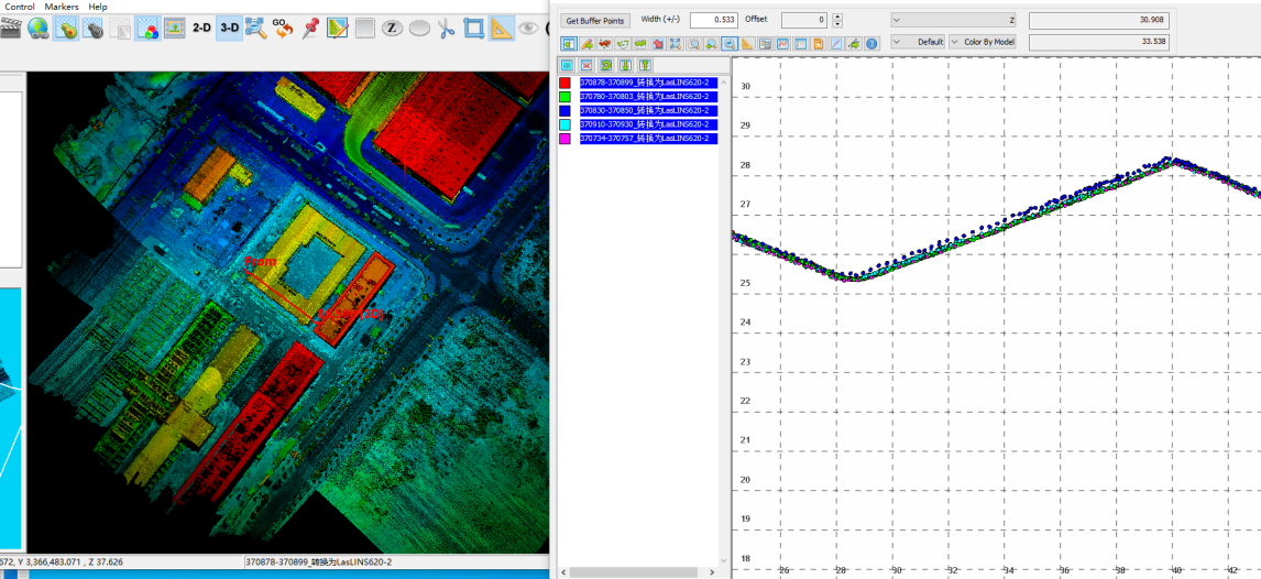
LINS620 IMU Is the best choice for uav LiDAR applications. If you are working in related fields, and if you need to improve the efficiency and data quality of uav mapping, you are welcome to contact us at any time to learn more about the product information.
Company News

