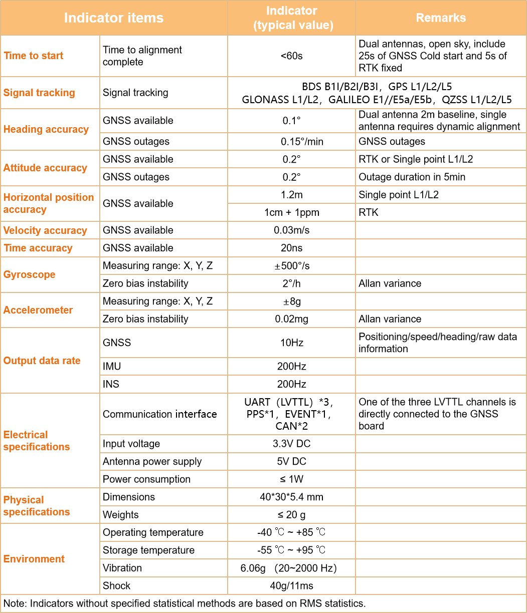
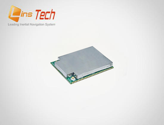
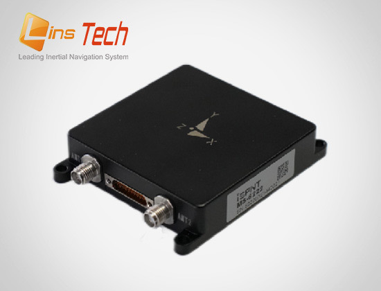
MM-6322 High precision MEMS integrated navigation system

MM-6322 is a module-level MEMS combined navigation system independently developed by LINS Technology. The built-in MEMS IMU (inertial measurement unit) and high-precision dual antenna GNSS use multi-source fusion Kalman filter algorithm, which can provide continuous and reliable high-precision positioning and navigation information in complex environment.

关键词:

Category:

key word: MM-6322 High precision MEMS integrated navigation system

Details

MM-6322 is a module-level MEMS combined navigation system independently developed by LINS Technology. The built-in MEMS IMU (inertial measurement unit) and high-precision dual antenna GNSS use multi-source fusion Kalman filter algorithm, which can provide continuous and reliable high-precision positioning and navigation information in complex environment.

The products are widely used in satellite communication, UAV, surveying and mapping, intelligent driving and other fields.

Main features:

√High reliability of product design, scientific and effective product research and development

√ Professional and perfect production equipment, strict quality control of the production process

√Deliver better products to your users

√Years of industry deep application experience, super thousand industry users practical cases

√ Industry-leading compensation calibration technology, efficient and rapid professional technical response

√ Provide more satisfactory service for users

▪ Support for BDS, GPS, GLONASS, Galileo and QZSS full-system multi-frequency points, and support the Beidou three satellite system

▪ Adaptive static / dynamic alignment

▪ System level installation error and wheel speed proportional error adaptive compensation

▪ LVTTL, CAN, PPS, EVENT, a variety of interfaces are optional

Typical applications:

1

Specification parameters:

Indicator items

Indicator
(typical value)

Remarks

Time to start

Time to alignment complete

<60s

Dual antennas, open sky, include  30s of GNSS Cold start and 5s of RTK fixed

Signal tracking

Signal tracking

BDS B1I/B2I/B3I ,GPS L1/L2/L5
GLONASS L1/L2 ,GALILEO E1//E5a/E5b

Heading accuracy

GNSS available

0.1°

Dual antenna 2m baseline, single
antenna requires dynamic alignment

GNSS outages

0.15°/min

GNSS outages

Attitude accuracy

GNSS available

0.1°

RTK or Single point L1/L2

GNSS outages

0.1°

Outage duration in 5min

Horizontal position accuracy

GNSS available

1.2m

Single point L1/L2

1cm + 1ppm

RTK

Velocity accuracy

GNSS available

0.03m/s


Time accuracy

GNSS available

20ns


Gyroscope

Dynamic measuring range: X, Y, Z

±500°/s


Zero bias instability

2°/h

Allan variance

Accelerometer

Dynamic measuring range: X, Y, Z

±8g


Zero bias instability

0.02mg

Allan variance

Output data rate

GNSS

10Hz

Positioning/speed/heading/raw data information

IMU

200Hz

Default 100Hz

INS

200Hz

Default 100Hz

Electrical
specifications

Communication ports

LVTTL*3 ,CAN*2

One of the three LVTTL channels is directly connected to the GNSS
board

Input voltage

3.3V DC


Antenna power supply

5V DC


Power consumption

≤ 1W


Physical
specifications

Dimensions

40*30*5.15 mm


Weights

≤ 20 g


Environment

Operating temperature

-40 ℃ ~ +85 ℃


Storage temperature

-55 ℃ ~ +95 ℃


Vibration

6.06g ( 20~2000 Hz)


Shock

40g/ 11ms


Note: Indicators without specified statistical methods are based on RMS statistics.

Inquiry

We will contact you within one working day. Please pay attention to your email.

Submit

Recommended products