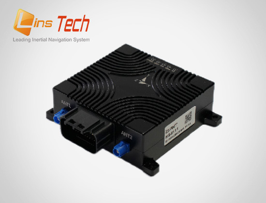
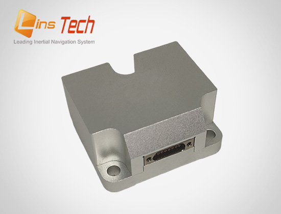
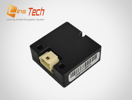
IMU for UAV LiDAR
The airborne LiDAR system is an active earth observation system that obtains the three-dimensional spatial information of the ground object by emitting the laser pulse and receiving the signal reflected back from the ground. A typical airborne lidar system consists of a positioning system (GNSS), an inertial measurement unit (IMU), a laser scanner (Laser Scanner), a digital camera (Digital Camera), and a central control unit (Center Control Unit).
The GNSS positioning system is used to quickly and accurately record the spatial location information data of the signal transduction points, which can provide timely and reliable flight platform status data such as interroute start point distance, flight route lateral deviation and flight route bias. The inertial measurement unit IMU is used to record the information of the three spatial attitude parameters of the measurement platform, such as the instantaneous pitch angle, roll angle and direction angle of the shooting center.
The GNSS and IMU combined navigation system (INS) can provide the attitude information of the aircraft in real time. By combining the INS pose data of INS with LiDAR scanning angle, laser point cloud data can be accurately converted into the geographic coordinate system, ensuring that the spatial position of each laser point can correctly reflect the actual position of the ground object.

Recommended products


